Fast, AI-driven supply chain decision orchestration for every individual and team —from strategic design to tactical planning.
Make business users a part of an interconnected decision-making process with powerful answers in familiar interfaces.
Natural language AI assistant automates model building and analysis for faster, smarter insights.
Model, optimize, and simulate even the most complex supply chains at scale and trade off cost, service, risk, and sustainability.
Effortlessly reoptimize supply chains to mitigate the effects of tariffs.
Rapidly solve even the most complex models with supersized CPU and memory capacity.
Eliminate data challenges with AI-automated cleansing and workflow orchestration for decision-ready intelligence instantly.
Never regret a supply chain design decision. Test changes in a virtual environment with real-world variability before investing a dime.
Shared workspaces, centralized visibility, and commercial-grade administration for faster, coordinated supply chain decisions.
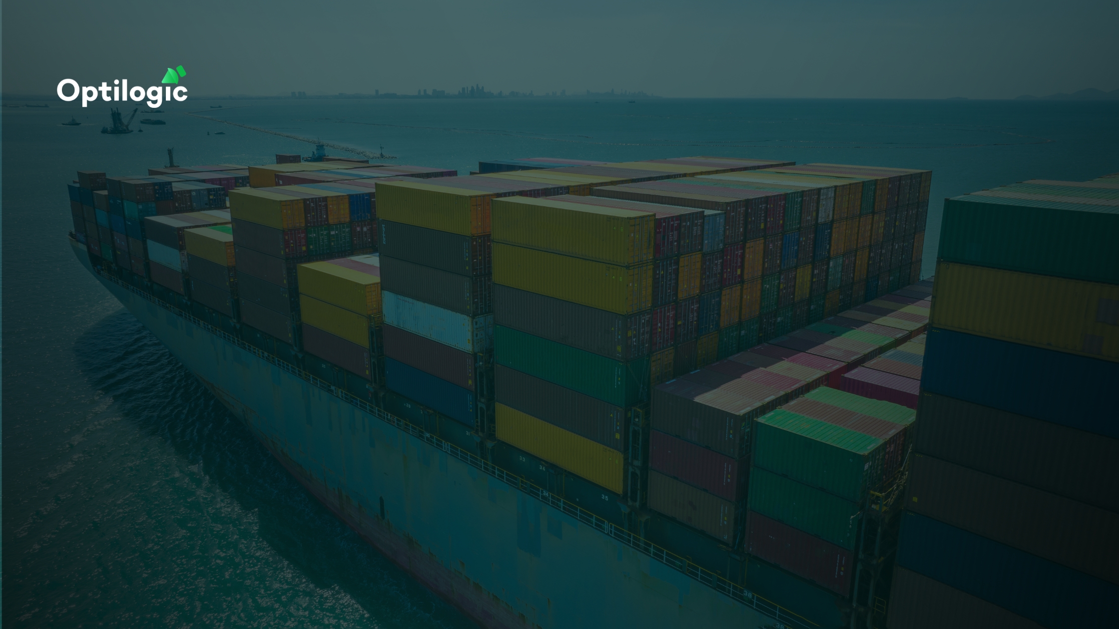
Transform supply chain collaboration with Optilogic's AI decision orchestration—connecting data, people, and processes for faster, smarter decisions.
Cosmic Frog is the only design solution to provide automatic risk ratings for every scenario so you can consider more than just cost and service.
Stay updated on the latest from Optilogic.
Enhance your skills with our hands-on training sessions and courses.
Dive into expert insights, industry trends, and practical tips for success.
Discover Optilogic's partner network empowering transformation and supply chain success.
Discover on-demand interviews, demos, and customer sessions.
Find step-by-step guides, FAQs, and support.
Access our full library of guides, case studies, and tools to help you succeed.
Connect with Optilogic peers, exchange insights, and accelerate supply chain success.
Published by
Published on
March 1, 2024
Fill out the form to unlock the full content


.jpg)